
Hiking up Mt. Lowe trail in Altadena/Pasadena is a journey letting a hiker's imagination grasp history in the San Gabriel Mountains over 100 years ago. Hikers can access the narrow, 2-foot trail at the top of Lake Avenue, almost 3 miles north of the 210 freeway. Parking is available on either side of Lake Avenue or Loma Alta Drive which intersects Lake Avenue and heads west.
Mt. Lowe's trail is like an outdoor history museum and is wonderful for the hiker who wants to see the ruins of what was a fabulous resort hotel in the 1890s and early 20th century. Engineers built a cable railway system elevating riders up this part of the San Gabriel Mountains when Pasadena was a small winter haven for midwesterners who celebrated every January 1 with a small parade of carriages decorated with roses! Check out the b&w photos!
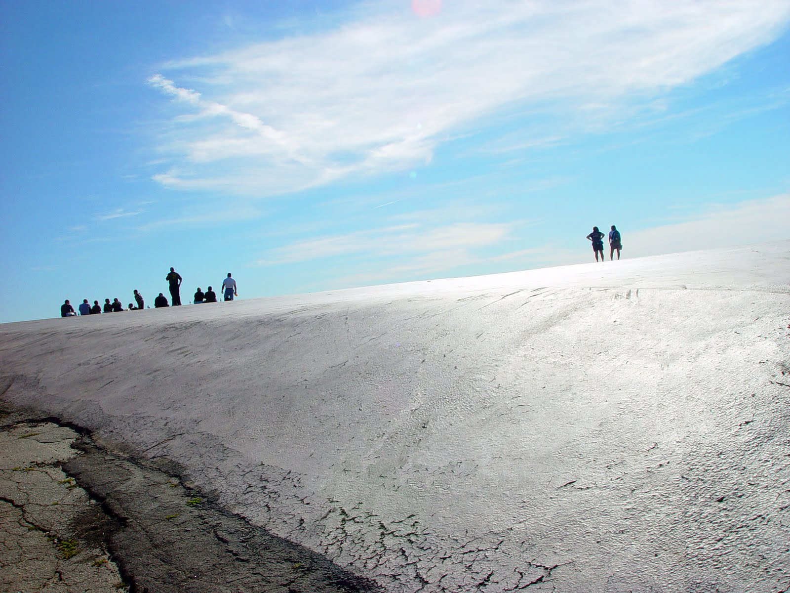
The trailhead begins behind a residential section and dips for the first 100 yards into a canyon stream bed that fills with water during the rainy season. Then the climb begins under a stretch of shady oak and the trail soon becomes exposed in the full sun. On mid-day hikes, bring plenty of water since there is little shade. The trail switches back and forth allowing views of the hills with the Rose Bowl to the west, the Altadena Golf Course to the east and provides spectacular views of downtown Pasadena's high rises directly to the south. Downtown Los Angeles is often visible.
Any mountain bikers traveling on the trail need to ride with caution. Once at the ruins, bikers can move faster taking other trails that become less used and ones that lead to a road heading to Mt. Wilson.
Energetic small children can enjoy this 2-mile hike to the top of the trail but it's good to have snacks along the way or some other reward to urge them on along the switchbacks. The trail surface is fairly smooth and sturdy walking shoes are sufficient. Switch backs tease the hiker as the top gets closer and makes one think "hey, we're almost there" several times over.
Shady trees and the stone and cement foundations are welcome signs that the top was achieved and it allows one to have a sigh of relief. Enjoy the fascinating mixture of raised levels and low levels where the buildings stood and try to see the hotel with its tourists from Los Angeles in their suits and derby hats enjoying themselves on the wide balcony of the hotel while overlooking the wilderness and city scenes below.
Two separate fires destroyed the buildings by 1905 and eventually the railway leading into the mountains was abandoned.
You can go up to the Echo machine.. yell loud to hear it. Then further to the Love Bench. Going back, there are more trails leading into a network of paths away from the urban sprawl and into the urban forest of the Angeles National Forest and the San Gabriel Mountains. You can hike 3 mi further and hit Inspiration Point, with the fun view finders.
Hiking Mt. Lowe shows the topgraphic diversity of Pasadena and Altadena and the brilliant engineering that shaped this region. It's not just a hike -- it's a history lesson as well.